The River Don
The River Don flows for a distance of approximately 114km, although its tributaries add a further 300km to its overall length. There is a complex network of minor tributaries that feed into it as it flows towards the Humber Estuary.
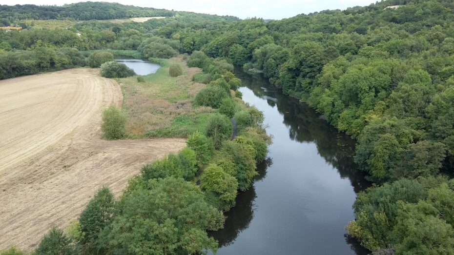 The River Don from Conisbrough Viaduct
History
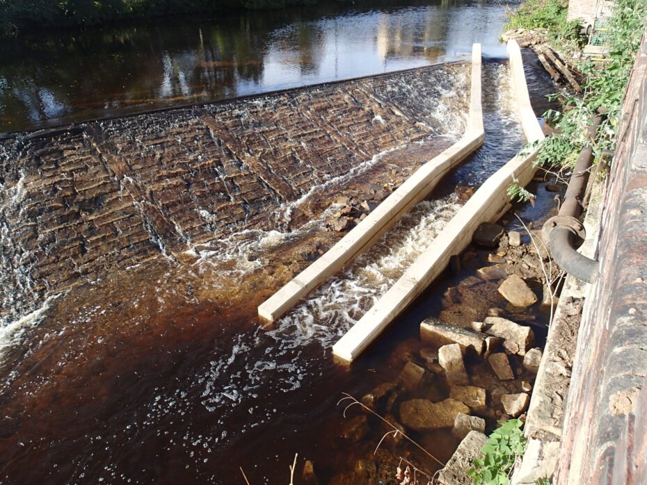
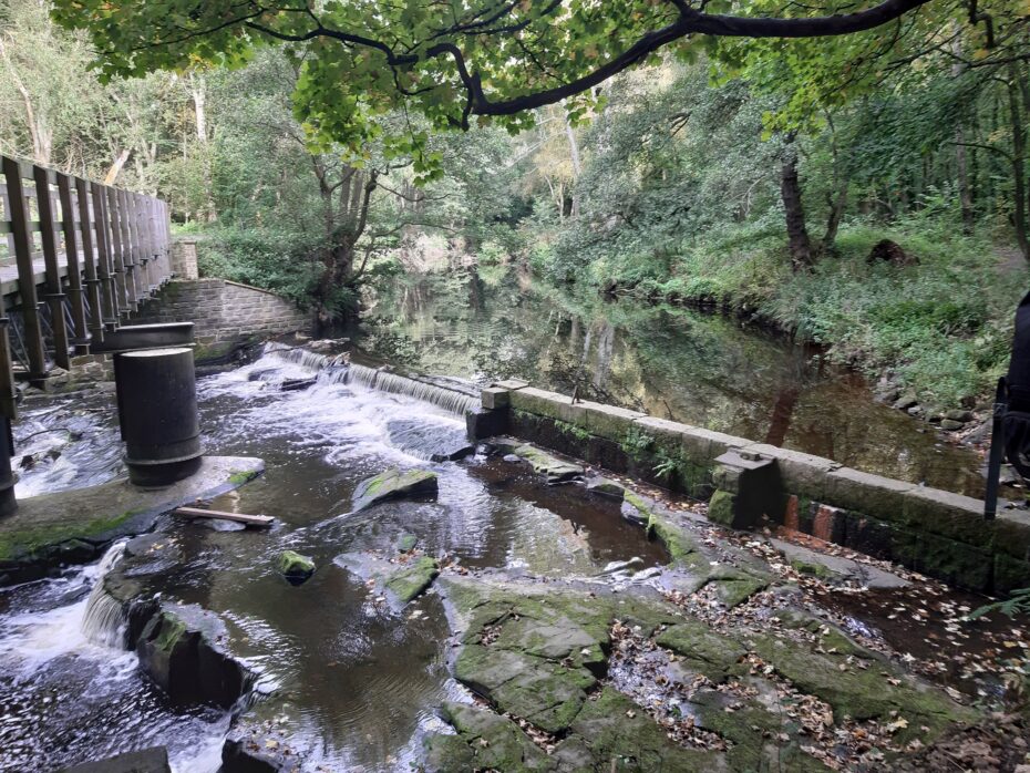
The Don can be divided into sections by the different types of structures built to restrict its passage. The upper reaches, and those of several of its tributaries, are defined by dams which were built to provide a supply of water to the public. The middle section contains many weirs, which were built to supply mills, foundries and cutlers’ wheels with water power. The lower section contains weirs and locks, designed to maintain water levels for the navigation of boats.
The impact resulting from these physical changes were extremely destructive to the life of the river but it was the changes in water quality which finally condemned the river to a period of almost total ecological destruction. By 1850 chemical pollution began to have serious effects on the River Don and by the turn of the century, the river had been reduced to little more than a foul smelling, lifeless sewer. These abominable conditions were to persist throughout most of the 20th Century and managed to earn the Don, the unenviable reputation for being one of the most polluted rivers in Europe.
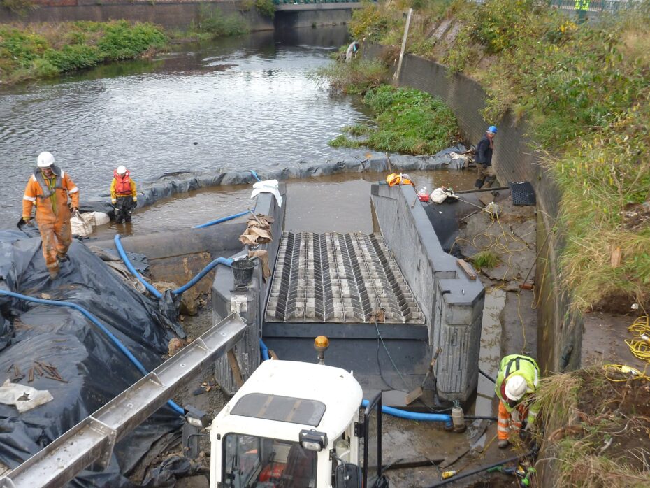
In the last few decades there has been a vast improvement to the river but there is still lots of work to be done. The Don Catchment Rivers Trust is constantly seeking to secure funding to help improve the river with projects covering fish passage, education, habitat improvements and many others.
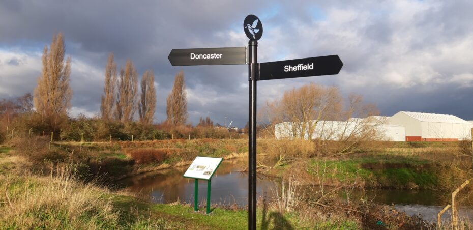
Do you want to walk along the River Don? Have a look at the Don Valley Way to find out more.
Click the images below to learn more about DCRT projects on the River Don!
The Living Heritage of the River Don
National Highways Little Don NFM Pilot


Masbrough Weir
Stocksbridge Weir
Hadfield Weir
Don Valley Way