Please book your place online https://bookwhen.com/sybrg/e/ev-sbb23-20251208101500
Further details will be sent to those who book a few days beforehand.
This introduction to digital mapping is linked to the re-creation of the landscape along the River Don
showing major changes over the last 400yrs. We will show participants how maps can be used to reveal the changes
and build a landscape.
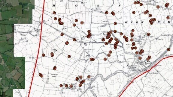
The workshop will use commonly available open-source mapping information to peel back the layers
from the modern to the ancient landscape. This will include examples from LiDAR, the historical series
of O/S maps, modern maps and aerial imagery. We will use some case-study examples to illustrate
these. We will also look at using existing and historical features as reference points to help people
understand the changing landscape.
There will be opportunities for discussion about the creation of the visualisation as well as the more
formal presentations on using digital mapping.
The workshop is part of the Don Catchment Rivers Trust’s All Hands on the Don project made possible
with the National Lottery Heritage Fund.
For more information about the project in general, please see the project website page
https://dcrt.org.uk/all-hands-on-the-don/ or contact Rebecca Ford [email protected]
For general enquiries about the workshop, please contact Christine Handley via