The River Rother
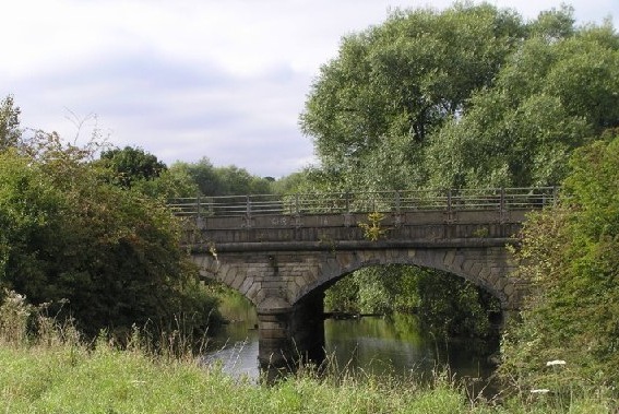
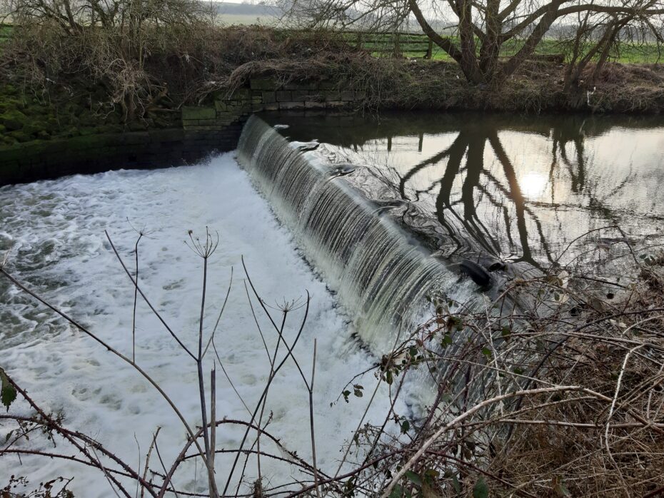
The River Rother rises in Padley Wood, near Clay Cross in low-lying rural land and flows for over 50km. The river passes through a number of canalised stretches, past North Wingfield and Wingerworth before flowing through Chesterfield Town Centre. The Lower Rother flows north of Staveley, through Rother Valley Country Park to the confluence with the River Don near Templeborough, Rotherham.
History
The rich coal deposits beneath the Rother Valley offered huge opportunities which where being eagerly exploited by business interests. Like the Dearne, the Rother appears to have escaped the worst excesses of this development, until the 1880’s although localised impacts would have been inevitable.
From the 1880s, the water quality deteriorated rapidly, with the proliferation of coal mines came the same problems of localised urban development that had occurred on the Dearne. The river was unable to sustain life, and by 1974, was the most polluted river in the River Don catchment. Tributaries such as the Doe Lea, River Drone and Pools Brook became repositories for industrial effluent and the collective effects quickly reduced the Rother to a lifeless sewer.
The main damaging pollutants came from coking plants, inefficient sewage treatment plants, and the manufacture of chemicals. By the 1970s and 80s major investment in upgrading the sewage treatment works took place, and in the treatment of industrial effluent before it was discharged to the river. The closure of the main coking plants has also aided the recovery of the river, and enabled restocking with fish to begin in 1994. By 1996, there was evidence that the fish populations were self-sustaining, and the river is now a venue for organised angling.


