In this blog read about the work we carried out to extend the Don Valley Way from Doncaster to Thorne providing an extra 14.6 miles of trail, and the interesting sites along the route!
As a part of our 3 year All Hands on the Don Project we have been working to extend the Don Valley Way (DVW) from the centre of Doncaster to the Princess Royal Footbridge in Thorne. This connects the city with its surrounding rivers and provides a walking route to connect the communities in the Don valley. Although the route does not entirely follow the River Don it does mostly follow rivers and streams including the Ea beck and the Bentley Ings.
We improved the route by replacing any unstable stiles and installing new gates where appropriate. We also installed lots of new way markers to ensure that the route is easy to follow however not all sections are marked. Information panels have also been installed as a part of the new extension and on the circular heritage walks. All these improvements were undertaken with the help of volunteers. You too can volunteer to help maintain the Don Valley Way. Click here to read about volunteering with us!
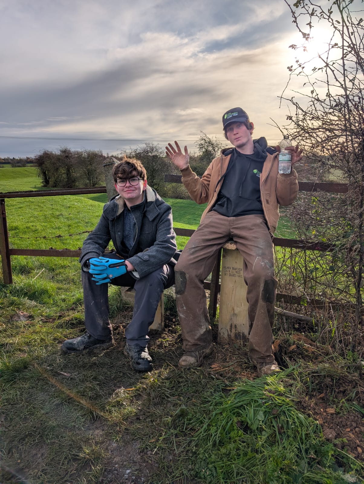
Work Experience Student Oliver Ginn (left) and Volunteering Officer Ben Curl (right) on a recentley constructed stile
Starting at the west end of the extension the route immediately leaves the Don behind and heads north crossing the road and then passing over a pedestrian bridge. You will pass through Bentley and cross over 2 level crossings before turning left and the right over a stile and along the flood bank which runs parallel with the Bentley Ings.
The Bentley Ings is a small stream that is a tributary of the Don. It flows from Brodsworth Community Woodland and joins the Don via the Fur water drain opposite Kirk Sandal. It has several names as it travels towards the Don including the Mill Dike, Langthwaite Dike and finally the Bentley Ings. Along the banks of the stream is the ruins of a Motte and Bailey Castle between Bentley and Highfields.
As you continue along the river on your right you will see the huge towers of the Ardagh factory, the last remaining glass factory in Doncaster. Doncaster has a long history of glass making in several parts of the city. This factory was formally Rockware which produced glass containers for food and drink. Ardagh is the largest glass producer in Europe.
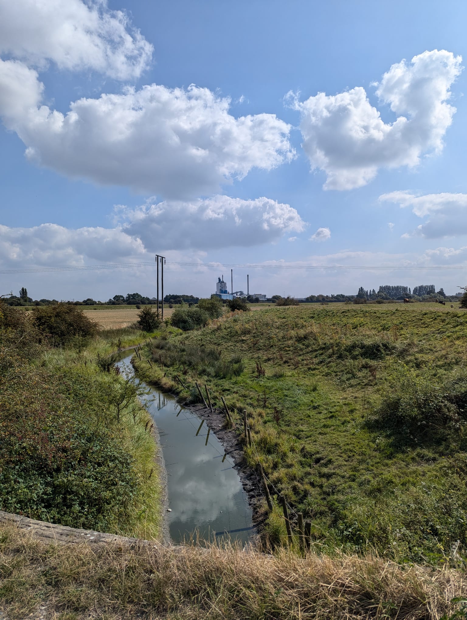
Ardagh Glass Factory from the Don Valley Way
Again, the route leaves a river behind as you follow the path which leads crosses Forstead Lane. You will continue straight on before turning left along a footpath which will join the Ea beck.
The Ea Beck is a very scenic river with lots of plants in the channel but is very modified with large flood banks flanking each side. It rises near Skellow and joins the Don at Thorne In Balne. From 1967 the Ea Beck was loomed over by the large cooling towers of Thorpe Marsh power Station. The power station closed in 1994 after it was declared unprofitable and was demolished in 2012.
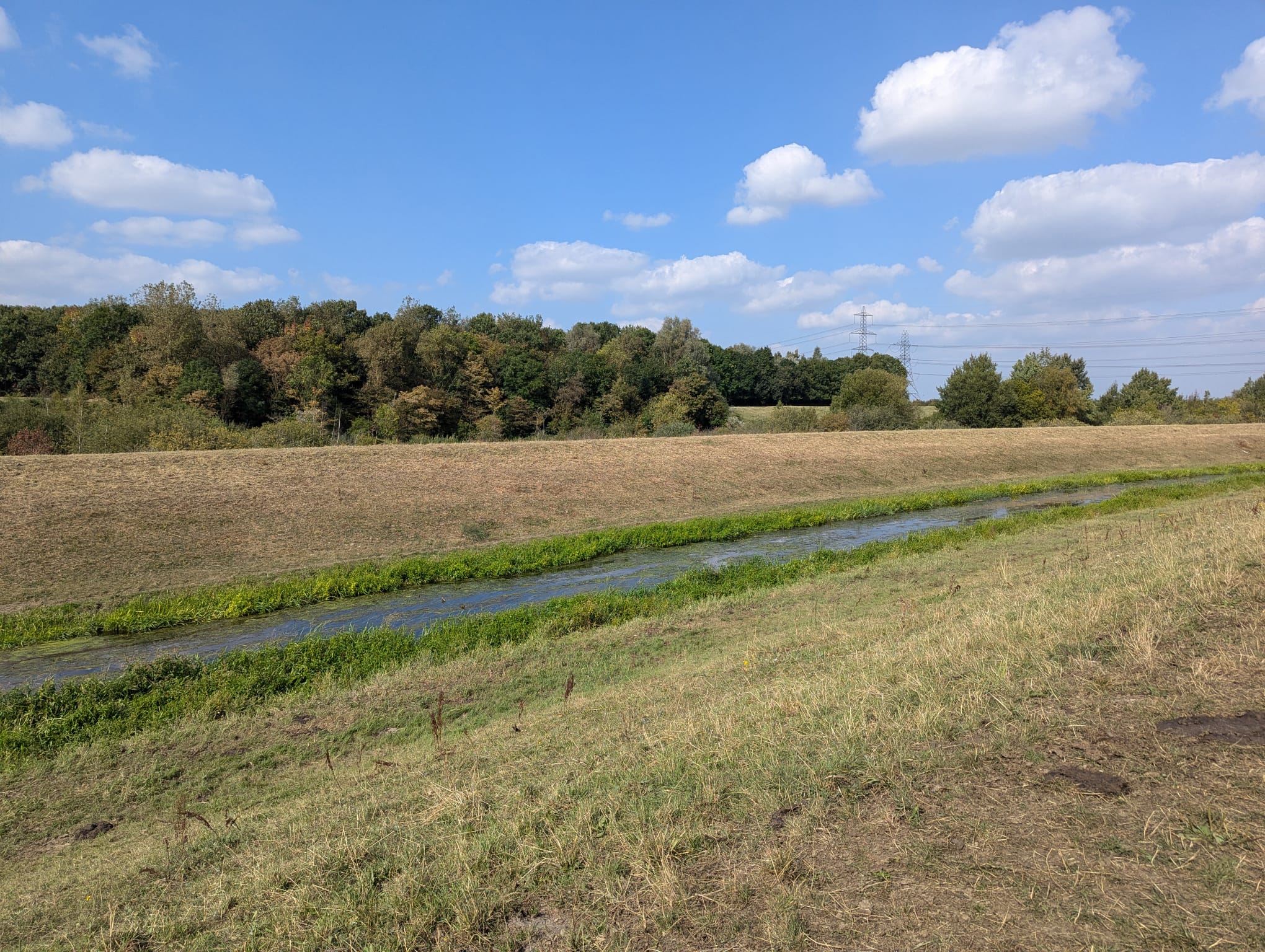
The Ea Beck
At the end of the Ea Beck the Don Valley Way follows Marsh Road left and then turns right onto Willow Bridge Lane. When the road reaches the canal you turn right heading South towards the Don.
This canal is the New Junction Canal, the youngest canal in the UK. Construction of the New Junction Canal was completed in 1905 and allowed cargo to be moved and out of the industrial areas of South Yorkshire to Goole. This created a much shorter and more reliable transport route for goods than moving through the tidal Don.
When the New Junction Canal meets the Don it passes over it on the Don Aqueduct. This is magnificent metal aqueduct with two huge guillotine like gates at either end. When the River Don is in flood the large gates are closed to prevent flood water from traveling down the canal and causing damage to boats and lock gates.
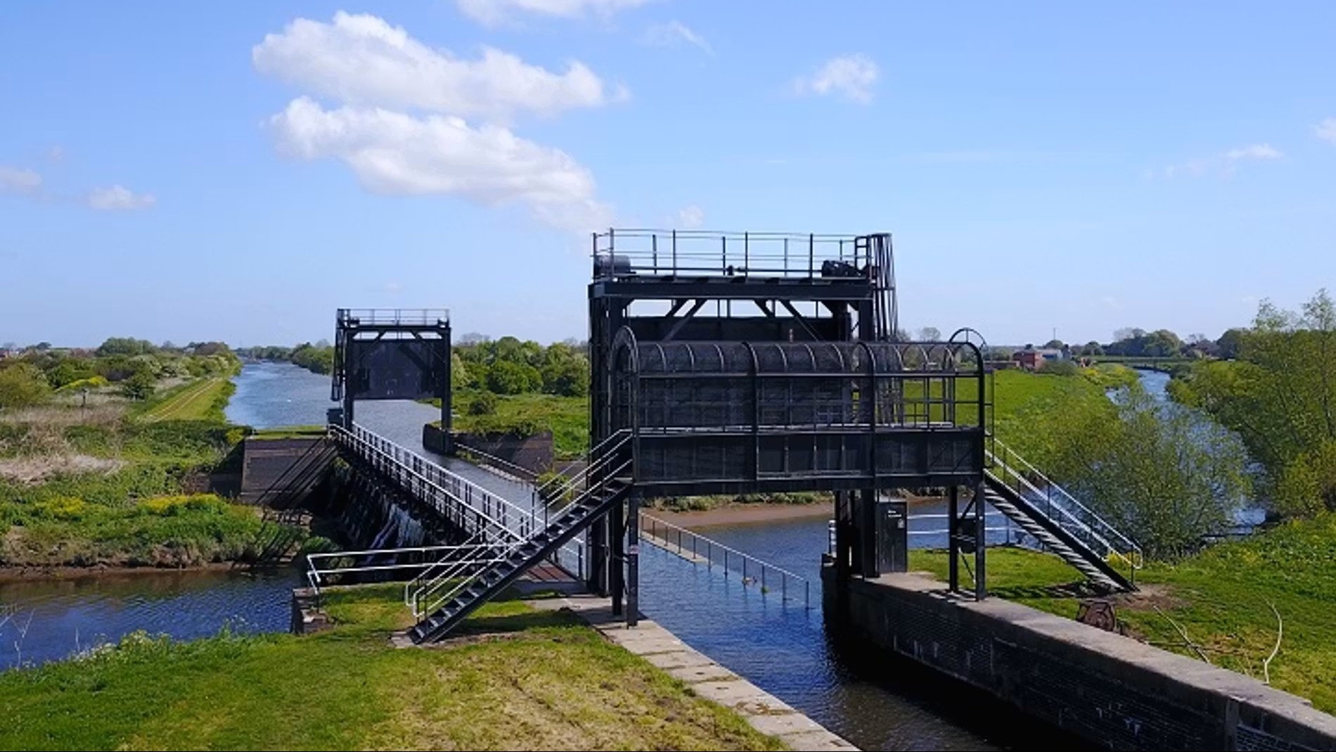
The Don Aqueduct
The Don Valley Way crosses over the canal and follows the river downstream. You will cross over Low Lane where you will see the church tower of St Marys Church on your left in the small village of Kirk Bramwith. You will continue along the Don until you reach the historic market town of Stainforth where you will cross over the Stainforth and Keadby Canal and continue to follow it in an easterly direction.
The market was established here in 1348, as it was an easy place to cross the River Don hence the name Stainforth meaning ‘Stoney Ford.’ There is a strong tradition of coal mining in the area, and the pit head structure still stands at the far end of the town. A little Way down the Don Navigation is a small dock area which is now Thorne Cruising Club. Here was the site of Stainforth Lock which allowed travel from the Stainforth and Keadby Canal into the River Don. The lock was closed when it was made obsolete after the construction of the New Junction Canal.
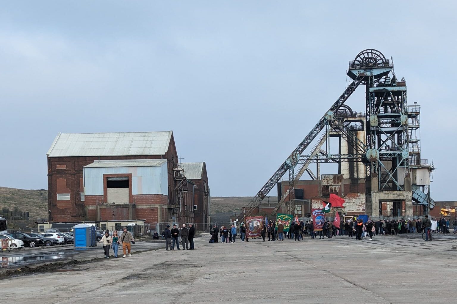
Hatfield Colliery Pit Head during an aniversary event for the miners strike
You will follow the tow path towards Thorne along the Stainforth and Keadby Canal passing the former coal wharf which was used to export coal from the Hatfield Colliery. Further along the tow path you will pass under the M18 after which you will find Thorne Community Woodland on your right.
Thorne is a town with a long history of boat building starting in 1858 when famous boat builder Richard Dunston established a workshop in Thorne. He built wooden barges made from locally grown timber and created ropes and sails in hose for the boats. Vessels capable of carrying 80 tonnes were constructed in Thorne and operated on the Stainforth and Keadby Canal.
The walk concludes at the Princess Royal Footbridge which was opened in 2005 by HRH Princess Anne for whom the bridge is named after. On the far side of the bridge to the right is Thorne Memorial Park. The park was originally private as it was part of the nearby Thorne Hall and the pond in the middle is believed to be a part of the original River Don. In the park there is a former bomb shelter which now houses the locomotives for the model railway which also runs around the park. The park was named as Thorne Memorial Park in 1921 after the construction of the war memorial to honour the 113 men from the town who lost their lives in the First World War.
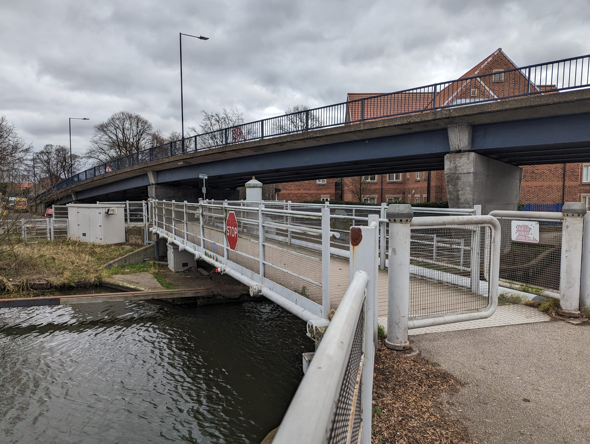
Princess Royal Footbridge
I hope that this blog has encourage you to get out and explore the Don Valley Way or check out some of our circular routes which have detailed audio guides to learn about the local history of the area!
You can find out more about the Don Valley Way and see the full route by clicking here!
Written by Volunteering Officer Anthony Cox